NEWAnywhere in Lithuania
Find the points with a map and compass where you live
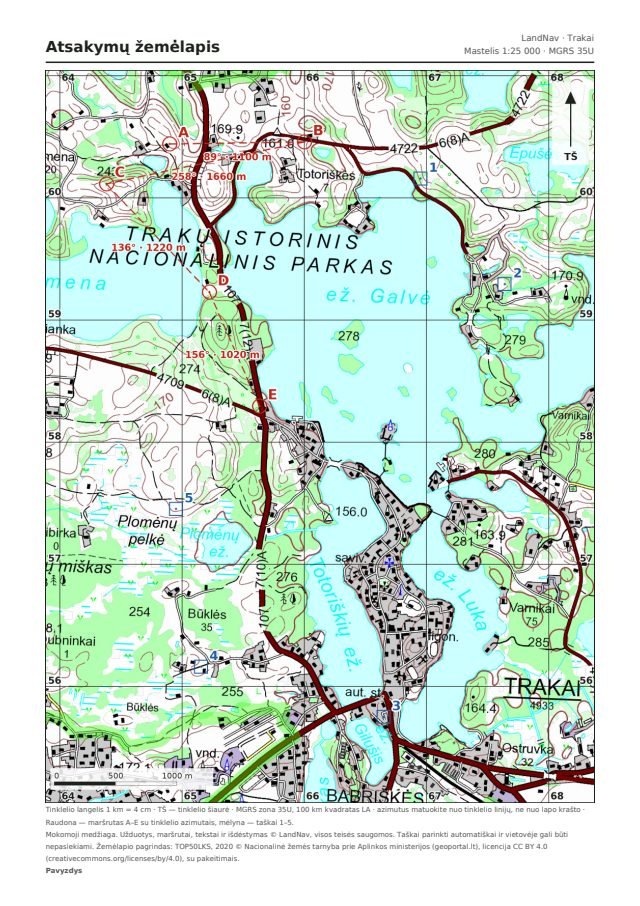
You pick a place, and we prepare a printable map with marked points, tasks and answers. Print it, take a compass and go looking for the points.
- 1 Pick a placeA forest, a park or the countryside
- 2 Get the PDFMap, tasks and answers
- 3 Go and find themCompass in hand, point to point
Create a kit
Three steps to your own map
Choose what you want, the place and your email. You get the PDF right after payment.
Who it’s for
A map that gets you outdoors
A phone tells you where you are. A map and compass teach you to understand where you are going. LandNav turns a familiar forest, park or village into a training ground: print it, take a compass and go looking for the points.
Secondary schools
For geography and civic education lessons and outdoor days. Every student gets their own version, the teacher gets the answers.
Clubs and youth groups
For young riflemen, scouts, orienteers. A session ready in a minute, and a different area every time.
Camps
A team game with cards at the points: each team walks its own order and collects a sentence, and the leader has all the answers.
Families and friends
A weekend challenge close to home: who finds all the points first and gets back to the start?
Hikers and enthusiasts
Test yourself without GPS: azimuths, distances in paces and terrain — at your pace, in your area.
Land navigation training
MGRS coordinates, grid and magnetic azimuths, a three-north diagram with the values for that sheet.
LandNav is training material for learning land navigation. Points are chosen automatically, so you may come across buildings, water or private land. All rights reserved: the files are for you and your group.
Topographic map with an MGRS grid
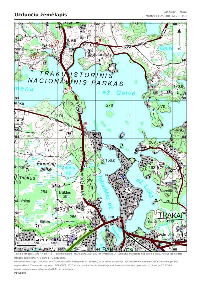
Every sheet is printed at 1:25,000 with a kilometre MGRS grid, and the symbols sheet shows roads, water, vegetation, terrain and the three-north diagram. You read coordinates just as on a military map: zone, 100 km square and eight digits.
Land navigation practice for schools, clubs and camps
Suitable for map-reading training, orienteering lessons, camps and family outings. With several versions, everyone gets their own route in the same area, and in the team game the groups visit the same points in different orders. The leader always gets the answers.
Map reading, azimuths and distances
The tasks cover finding the coordinates of points, finding points from coordinates, working out grid and magnetic azimuths and measuring distances. Every answer has an allowed margin of error, so you can check yourself.
New: Family plan
Who picks up the children and where you meet when phones stop working. With the nearest shelters.
Questions
Who is LandNav for?+
Anyone who wants to learn to navigate with a map and compass: secondary school students and teachers, clubs, camps, riflemen and scouts, families, groups of friends and hiking enthusiasts.
How do the products differ?+
The practice kit has tasks with answers, and several versions give each participant a route of their own. In the team game all teams visit the same points, only in different orders: the card at each point gives a word and the way to the next point, and at the finish the words make a sentence. The blank map is a map with a grid and a symbols sheet, so you can plan the exercise yourself. The compass lesson is a 4-sheet guide to using a compass; you can add it to any kit for €1.
How does the team game work?+
Before the game you walk round the points and hang a card at each one. The teams get a map and directions to the first point. At every point a team finds its own row: a word and the way to the next point, so no point can be skipped. At the finish the team says its sentence and you check it against the answers. You choose the difficulty when ordering: coordinates with a bearing, coordinates only, or bearing and distance only.
Can I choose the number of points and the route length?+
Yes. For the practice kit — from 4 to 10 points, for the team game — from 4 to 8 shared points (one word of the sentence each). The route — from 2 to 20 km; in the team game one team’s loop is up to 10 km. One sheet covers about 4.5 × 6 km, so a long route needs more points: with 4 points — up to 12 km.
Do I need a compass?+
To read the map, a ruler and a protractor are enough. On the ground a simple baseplate compass is handy.
Are all points reachable on the ground?+
Not always. Points are chosen automatically, so one may land on a building, a pond, or fenced or private land. The goal is to learn to read the map and navigate. Do not climb into private, fenced or dangerous places: get as close as you safely and legally can. For the team game you must walk round the points before the event: that is where you hang the cards.
I do orienteering. What should I keep in mind?+
Before important races the Lithuanian Orienteering Federation declares some areas closed: competitors and coaches may not train there. Before choosing an area, check the list at orienteering.lt/zemelapiai. LandNav is not connected with the federation — this is just a friendly reminder.
What if a grid square does not print at 4 cm?+
On the order page, enter what you measured, and within a minute you get a new file adjusted to your printer; we also email the new link. Coordinates and azimuths are correct either way.
Is it suitable for military map-reading training?+
Yes. Coordinates are given in MGRS format, azimuths are measured from grid north with the magnetic correction, and the symbols sheet has a three-north diagram with the values for that sheet.
Can I share the files?+
The files are for you and the group you ordered them for. This is training material with all rights reserved, so it may not be distributed or resold.
When do I get the PDF?+
Right after payment: the link appears on screen and in an email. Several versions of a practice kit come as one ZIP file.
What if the file is broken or did not arrive?+
Write to us with your order number: first we will provide a working file free of charge, and if that is not possible, we will refund you. More in the terms of sale.
Your first route is waiting
Pick a place and within a minute you will have a map to print.